Challenge
multiVIEW Locates was retained to carry out a detailed Ground Penetrating Radar (GPR) survey in support of a road structure investigation over several hundred kilometres of roadway in Ontario. The objective of the survey was to collect data on road pavement thickness including asphalt, granular base and subbase layer imaging, in order to inform road inspection, condition assessment and structure rehabilitation.
Solution
Data acquisition was completed using a high-speed, multi-channel ground-coupled GPR system that incorporated two 1000MHz antennae for high resolution scanning up to 0.75 meters in depth and one mid-resolution antenna for scanning up to 3 meters in depth. All scans leveraged real time GPS synchronization and data was collected at posted travel speeds. The linear position along the roadway was recorded using a high precision optical encoder referenced to geographic data collected using a Trimble RTK-8 receiver.
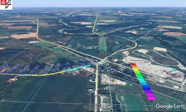
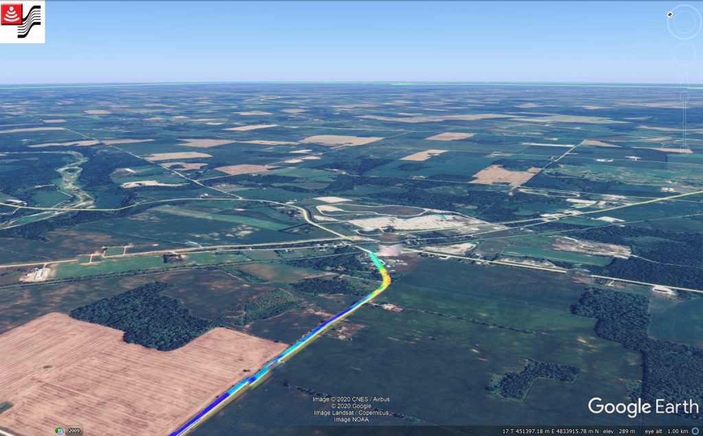
Upon processing and analyzing the collected data, the client was provided with colour contour maps, depth plan maps and cross sections that illustrated the interpreted road structure.
Survey profiles and reference stations for the data acquisition were established according to the client’s basemaps and project requirements. Starting from the reference locations, the GPR survey profiles were installed with increasing stations in north and east directions. GPS data and elevations were acquired for each of the profiles to establish grids.
All collected data was digitally recorded and backed up onsite. Data was then processed using proprietary software that makes it possible to view GPR cross section images and define profiles of the pavement interface depths. Interfaces were identified based on cross section images and existing knowledge of the pavement structure. Anomalies were identified by examining the subsurface electromagnetic reflection characteristics including continuous anomalous trending, and high amplitude hyperbolic reflection.
The objective of the survey was to collect data on road pavement thickness including asphalt, granular base and subbase layer imaging
Results
Upon processing and analyzing the collected data, the client was provided with tabulated profile measurements and depths for each distinguishable substructure along with colour contour maps, depth plan maps and cross sections that illustrated the interpreted road structure. GPR data was interpreted by comparing the characteristics of the acquired profiles to multiVIEW-sourced examples and results from historic field surveys. Depth and position estimates presented in the assessment report were based on GPR reflective horizon depth calculations using multiVIEW processing platforms and methodology. All collected data is correlated with key coring results to ground-truth electromagnetic velocities and allow interpolation across the surveyed areas.
Depth and position estimates presented in the assessment report were based on GPR reflective horizon depth calculations using multiVIEW processing platforms and methodology.

